Transportation Asset Management in GIS
CLIENT
Maryland Transportation Authority (MDTA) Engineering Division 300 Authority Drive Baltimore, Maryland
KEY FEATURES
PROJECT DESCRIPTION
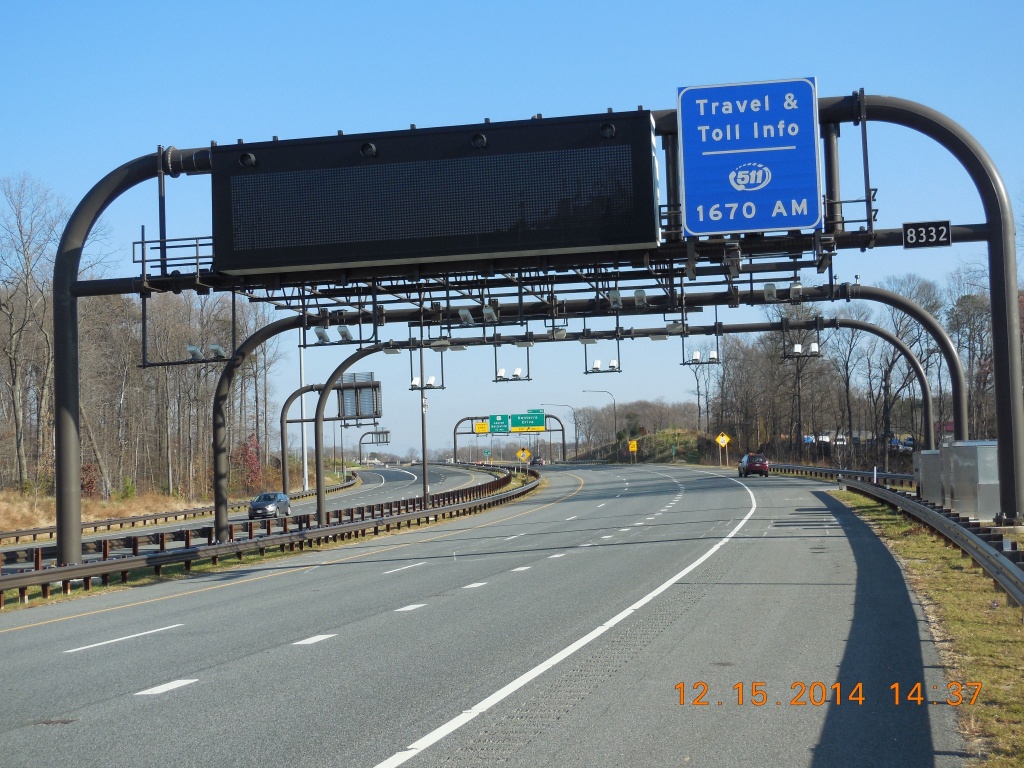
Transtech’s services to the Maryland Transportation Authority (MDTA) includes per- forming updates of the GIS databases that contain electrical and intelligent transpor- tation system (ITS) devices. We apply the principle of ESRI ArcGIS desktop applications and extension 3D, Spatial, Network Analyst; create, edit, maintain, and manage fea- ture classes in Oracle database management system; create metadata of feature lay- ers; and perform updates in ArcSDE geodatabase for existing feature classes.
We also create GIS data links from “.shp” to “.KMZ” files for viewing GIS data in the MDTA’s Google Earth Enterprise. This application allows technicians to access the data using Google Earth.
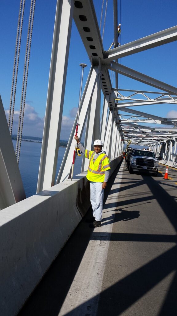
Another part of our services is to gather and process field data (positions, photos, and technical details of various ITS elements), prepare maps and plans for completed con- struction projects, perform geocoding of addresses, and process GPS data using Trim- ble applications such as Terrasync and Pathfinder office.