Geospatial Support Services for Environmental Programs
Project Description:
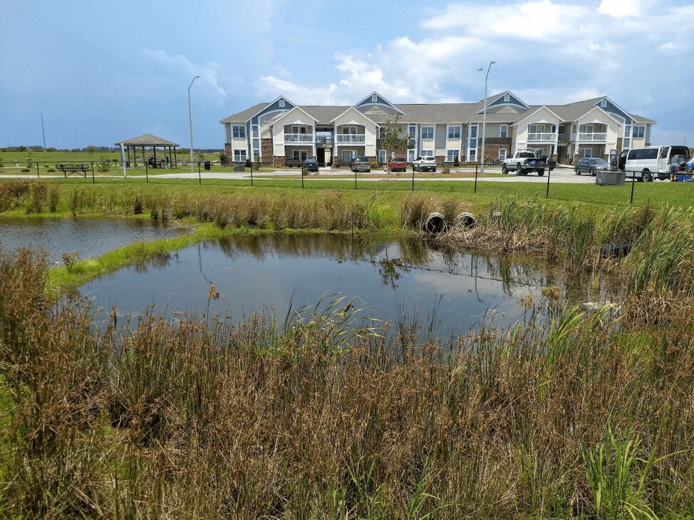
The Maryland Transportation Authority (MDTA) must address a myriad of environmental requirements for compliance and project approvals. The Stormwater Program addresses NPDES Permits for roadways and maintenance facilities. This requires MDTA to inventory, inspect, and maintain landscape vegetation, drainage systems, and stormwater BMPs, as well as to inventory impervious areas and their stormwater treatment. The Tank Program involves the management of above and underground storage tanks, and as required, addresses compliance needs under the MDE Oil Control Program. Another core activity is natural resources permitting and mitigation, which requires tracking of mitigation assets. MDTA will continue to maintain and enhance the enterprise geospatial databases to comply with regulations and manage environmental assets. The scope of services is to provide manage and maintain the enterprise geospatial database.
We also created GIS data links from “.shp” to “.KMZ” files for viewing GIS data in the MDTA’s Google Earth Enterprise. This application allows technicians to access the data using Google Earth.
Key Features:

